Had a nice hike up the Plotterkill from the lower trail yesterday. Of course, it was a bright sunny day, so some problems with contrast, but I got pictures of the six major waterfalls in the lower section of the preserve. I also took waypoints for them which I will post to my google map of the area once I get on a high speed connection.
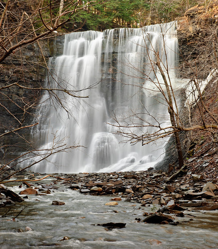
So, starting at the bottom, here's Jacob's Ladder and Step Falls, at least that's the way it's named in the Dunn book, I can only guess that the bottom section is the step falls and the upper part is Jacob's Ladder.
The bottom step close up
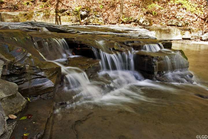
The Jacob's Ladder section
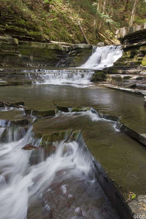
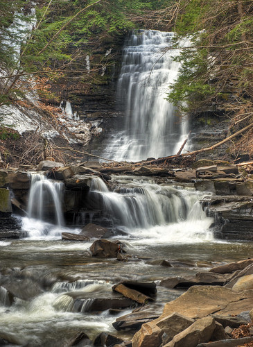
Going upstream, here's the next major falls
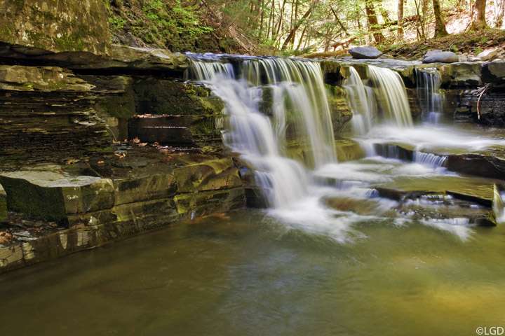
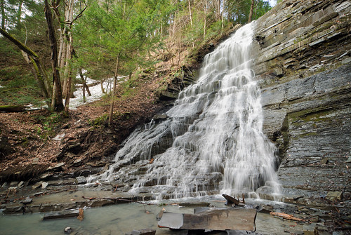
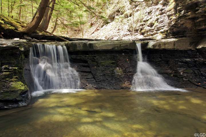
This next one has a nice pool that it flows into, obviously created by a much larger fall that is long extinct, nice place to have lunch.
This one is in a nice grotto where the stream takes a 90 degree turn, I was really starting to have problems with the sun at this point
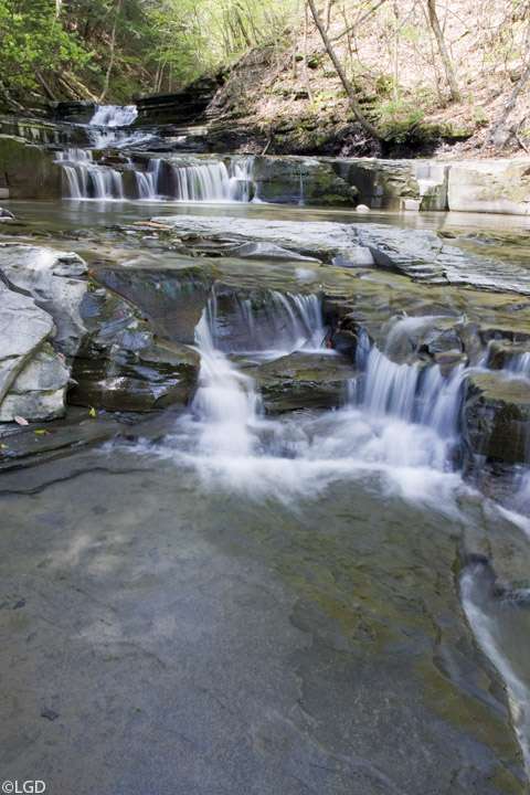
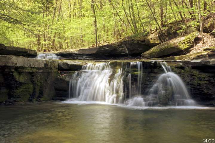
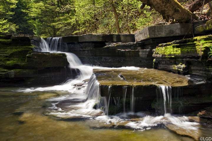
This one just barely qualifies as a fall, it's only about 4-5 feet high, but with the water level yesterday, there was enough to flow across the large square block in the foreground to make it more interesting.
Here's the last one in the lower section, above this, the streambed becomes an average rocky burbling brook until just before the main falls upstream